Saturday, November 17, 2012

Surprise! Lake

November 17-18, 2012

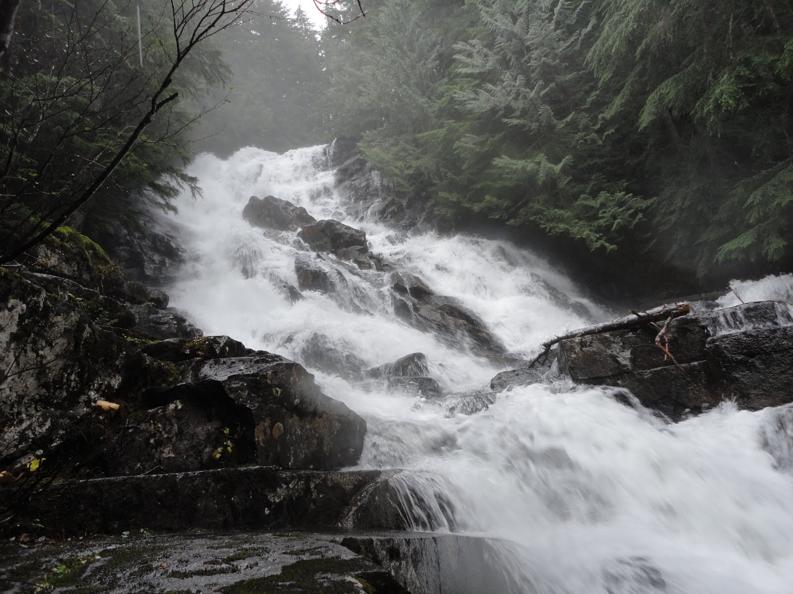
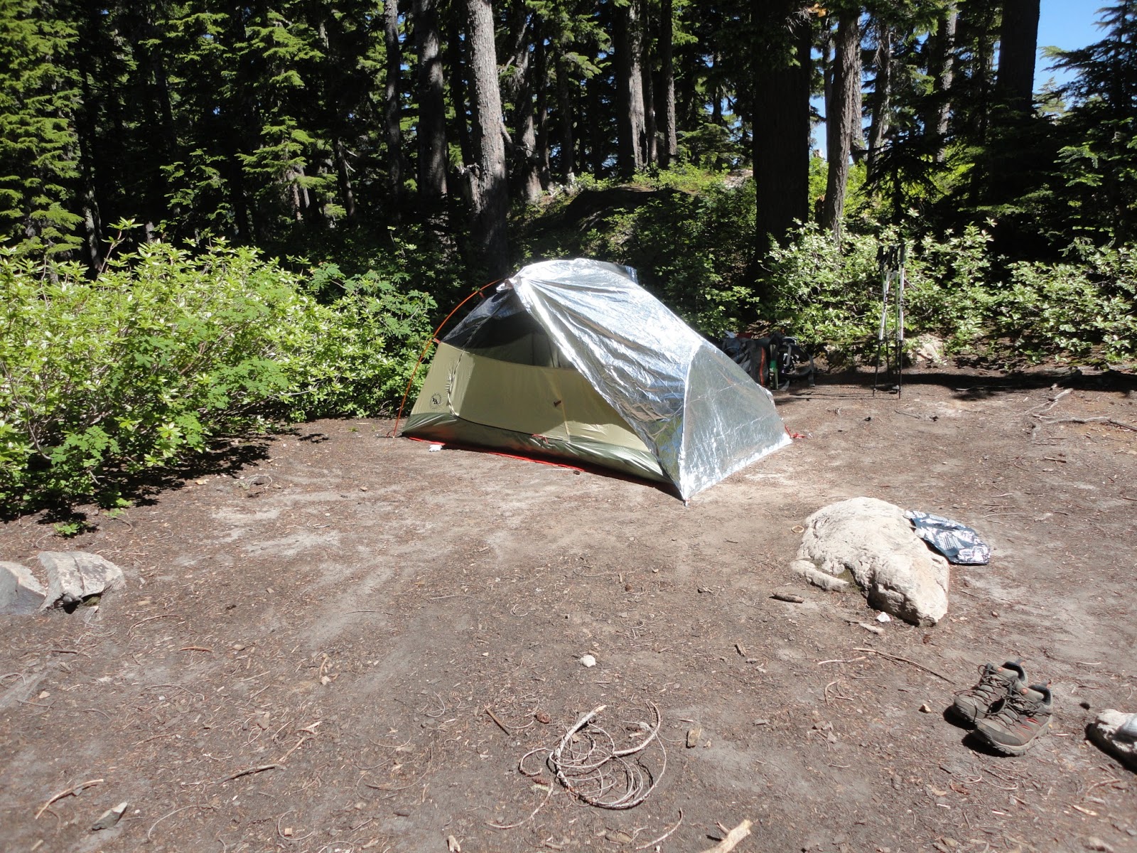
Our first hike/camp in the snow ever and boy, was it snowy. The trailhead would have been difficult to find were it not for the little blurb from WTA's site. First mile or so was snow free with very well maintained stairs and bridges. We had some knock-off yaktrax called "snow trax" from Costco, but these were pieces of crap. Came off every few steps. Would definitely recommend bringing your trekking poles and some micro spikes. The trail was covered with snow about 2 miles in, but we were able to find our way until we got to the talus field just before the lake. We thought we missed PCT and Surprise Lake junction so we backtracked. That didn't look quite right either so we turned back around. By now it had taken us nearly 4 hours to hike 4 miles (!) and we were starving and starting to get cold. Turned out we just needed to go a little farther because Andy spotted a cut blowdown (evidence of trail maintenance). Found the junction and were on our merry way to Surprise Lake. It was beautiful and half frozen. We had the whole lake to ourselves. Set up camp right by the lake and stomped the snow down to make a spot for our tent. The hike up really tired us out so after eating, we crawled in the tent and slept. And slept. For 15 hours! Hah. We'll make it to Glacier Lake next time. Night time temps reached 27 degrees F and it was snowing/freezing rain the entire night.
The only people we saw was on our way down about 10 minutes from the trailhead. Hopefully they were able to follow our tracks.

You can see the old bridge in the water to the left of Andy

Snowing

Footbridge just before reaching the lake. We had to push the snow off in order to cross.

Unfrozen pond just before the reaching the lake

Signage

Frozen Surprise Lake

Partially frozen Surprise Lake

Campsite

Took most of the scenic pictures on our hike out. The talus fields looked so cool with snow on them - like whipped cream topped food. Yeah, we were hungry.

More talus fields.

Couple shot. Love the flexible tripod Andy made (like the Gorillapods). I'll ask him to write a DIY post on that some time.

Saturday, November 3, 2012

Goat Lake

November 3 - 4, 2012

Elevation Gain: 1400'
Highest Point: 3161'
Length: 10.4 miles roundtrip
Difficulty: Easy

We were expecting low temps and were excited to put our cold gear to the test - down jackets and sleeping bag. The forecast changed a couple days before the trip and instead of the 30s, changed to the low 40's and not cold enough for us. Oh well. It sure did rain a lot. Like downpour. Good thing Andy was prepared - he made a tarp shelter out of 2 mil plastic, duct tape, and grommets. Andy's parents came with us, too, but just for the day. They have been here before and I can see why - lots of waterfalls all around us. We took the Upper Elliott trail to Goat Lake.

The trail was mostly flat, wide, and well maintained. It was foggy in many areas and reminded Andy of the movie The Ring..

Since Andy and I were the only people here we had our pick of campsites. We chose the one overlooking the lake.

Goat Lake

Andy is collecting some water to filter.

Backtracked to a nearby roaring waterfall.


We stayed under the tarp during the afternoon before retreating to the tent at around 5pm. It poured rain all day and through the entire night. It was loud but cool, too, plus we got to see how our tent held up in a downpour (good, but seams leaked some rain so will need to seal that up).

Saturday, October 6, 2012

Rampart Lakes/Rampart Ridge

October 6 - 7, 2012

Elevation Gain: 3000'
Highest Point: 5800'
Length: 10.4 miles roundtrip
Difficulty: Difficult

Took an overnight trip to Rampart Lakes via the Rachel Lake trailhead. We did an overnight at Rachel Lake a couple months ago with the intent of doing a day hike to Rampart Lakes, but ended up taking a wrong turn and reached the top of Alta Mountain (See post "Rachel Lake/Alta Mountain"). This was a beautiful hike - Fall foliage, perfect campsite between two lakes, nice weather and a clear, cold night for star gazing. I think we'll make it a point to come back every year.
There are many trails to explore around the Rampart Lakes. After setting up camp we followed some random trails, had a snack, and then decided to head up to Rampart Ridge and ended up going to the highest point of the Ridge. We did this by climbing up towards Lake Lillian but instead of continuing on the trail to the left towards Lake Lillian we went right and continued climbing up and up and were rewarded with a spectacular view of the Lakes.

Waterfall in August (top) and same waterfall two months later in October almost dried up (bottom).

Fall colors

Someone fishing. Lots of people fishing all around, actually. This was our first campsite location, but...

It was super windy here so Andy picked up the tent and walked it down to the most perfect campsite we found during our day hike.

Ta-da! We were very happy here.

If you look closely you can see our tent on the center strip of land just under the red v. The second red v is where we ended up hiking up to (Rampart Ridge).

Hiked up these..

And got to see this!

Back at the campsite by sunset.

Sunrise, breakfast, and hike out (view of Rachel Lake).


Saturday, September 8, 2012

Lake Stuart

September 8, 2012

Trust your intuition. We intended this to be a two night trip: Hike to Lake Stuart, camp, then next day hike to Colchuck Lake, day climb Aasgaard Pass and then leave the next day. The day before we left I had a weird feeling. Not sure what it was, but I was in a bad mood and did not want to go hiking even though we were looking forward to this trip for a long time. Even as we set up camp I felt something was wrong. After changing into our swimsuits, Andy set the timer on our camera and we ran into the lake, splashing around while the camera took pictures ever five seconds or so. Andy's glasses fell off while splashing in the lake.. We looked for a good hour, trying to find his glasses with red legs. They were long gone :( I made the decision to leave, plus there would be thunderstorms at night. I wasn't feeling it. Oh well. Plan is to come back next year and conquer Aasgaard. Woot!


Splash splash

Actually, the sequence of pictures is really funny because you see us running to the lake, splash in a few pictures, then end with Andy in the lake looking for his glasses. You can see in this picture, too, the drop in the lake. The water was damn cold and neither of us had goggles so we were not able to dive in any farther than that edge.

Wednesday, August 29, 2012

High Divide Loop

This was our long hike of the summer, any by far the best. Five days, four nights and lots of wildlife.

We started off hiking to and camping at Sol Duc Park for the first night. I remember it being veeerrry cold. I think a lot of the cold air collected in the area we were camping. Nice little stream between some rock beds in the middle of the forest.

Day 1 - Sol Duc Park.

The next day we hiked to Lunch Lake. This was also Andy's birthday. Happy Birthday, Andy!


Cold, sun shiny morning :)


This is Heart Lake <3 center="">


Clearing at a high part of High Divide..


Hey, cool dudes.

So when you're walking up a steep section you're usually looking down, right? I usually do, too. But this time while I was looking down, something caught my eye up ahead. Just moments ago we saw some bear scat on the trail, too, so I was a little paranoid. I could have sworn it was some kind of movement, though, and John thought he saw something, too. Good thing, because we decided to stop mid-slope just in case...


Yup, it was a bear.

That was exciting. Here are some other pretty pictures on the way to Lunch Lake.


Hoh River from the High Divide (left), Tarns - looks like a golf course to me (right).


Beautiful, perfect, gorgeous Lunch Lake. Stayed two nights here.
 
 
6/14/2017 - Found this post sitting as a draft, so I guess it's all I wrote. Planning to do this hike in one day next month, July 2017.


Saturday, August 4, 2012

Rachel Lake to Alta Mountain

August 4 - 5, 2013

What can I say? Rachel Lake is gorgeous. We took an overnight backpacking trip to Rachel Lake the first weekend in August. Our legs were burning by the time we made it. Little did we know what was coming up.. After setting up camp, lunch, and taking a cold dip/swim in the lake, we headed out for a day hike. Plan was to hike to Rampart Lakes which is only 1.3 miles away, we accidently took a different trail - 1.8 miles of unyielding elevation gain (4,200' @ Rachel Lake to 6,100' @ Alta) but well worth the spectacular views and false summits! We were very close to actually summiting, but the sun was starting to set and we were hungry, tired, and had quite a descent ahead us. Maybe we will take this trip again in the Fall and this time go to Rampart Lakes :) Visible mosquito bite count: John - 100+ / Angela - 56 / Andy - 10. Andy has asked me to edit - his bites showed up later at 100+ LOL. My bite scars were visible until December.

Photo dump!