Saturday, December 9, 2017

Land's End Trail

December 9, 2017

It's been 12 years since Andy and I started dating. We've been celebrating our anniversary in downtown Vancouver B.C. for the past few years because it is so beautiful during the holiday season, but this year we decided to spend it in San Francisco. Our friends graciously invited us to stay with them during our trip which was most excellent as they live in a central part of SF. We were able to walk almost everywhere.

We were spoiled with clear and sunny 63°F + days for the whole trip. What better way to enjoy the weather than with a hike at Land's End Trail? We arrived a bit past noon to a full parking lot, but with plenty of people leaving we were able to grab a spot quickly. From the get-go we were awarded with sweeping views of the Pacific and the Golden Gate Bridge.

View from the parking lot. It's a quick hike down to see ruins of the Sutro Baths.


Land's End Labyrinth and Golden Gate Bridge


View from above


Windy picture at the top-ish
Running along the ruins

Sutro Baths
All in all the trail was a nice and relaxing stroll. There were people of all ages enjoying it. We hiked up to the labyrinth, turned back and took the steps down to the ruins. Afterwards, instead of going to Cliff House, we walked along Ocean Beach with Rosy. It was a great afternoon and way better than SantaCon ;)

Saturday, September 16, 2017

Seven Lakes Basin

September 16 - 17, 2017

My goal this summer was to revisit Seven Lakes Basin in Olympic National Park. Back in 2012 we hiked the High Divide Loop over 5 days, which gave us plenty of time to stop and smell the flowers. I had a draft post for that hike when I started the blog, but didn't publish it until recently since I hadn't written much about it.

So, with summer winding down we took advantage of perhaps one of the last sunny, warm weekends. Andy and I were prepared to do this in one day or two, depending on whether we could score an overnight permit at Lunch Lake. The ONP has a permitting system in the summer now. Where we wanted to camp (Seven Lakes Basin - Lunch Lake) 50% of the permits can be reserved, with the other 50% available up to 24 hours before the trip. There are other sites in the Park that can be reserved 100%, so one would need to plan ahead in that case.

We wanted to beat anyone who was looking for a walk-up permit like us, so we woke up at 4 am to catch the 5:30 am Edmonds-Kingston ferry. Google said the Port Angeles Wilderness Information Center (WIC) opens at 8 am on Saturday. Well, Google is wrong. They actually open at 8:30 am. We arrived at the WIC around 7:30 am, saw the business hours sign (8:30 am - 5 pm), got annoyed, then headed downtown to grab breakfast at First Street Haven, which I highly recommend.

We took our time enjoying breakfast and arrived back to the WIC at 8:32 am. There were already 5 cars in the lot and our chances were looking slim. Good news, though! The Ranger let us know there had been several cancellations due to the rain forecasted on Sunday, so we were able to get an overnight permit for Lunch Lake!

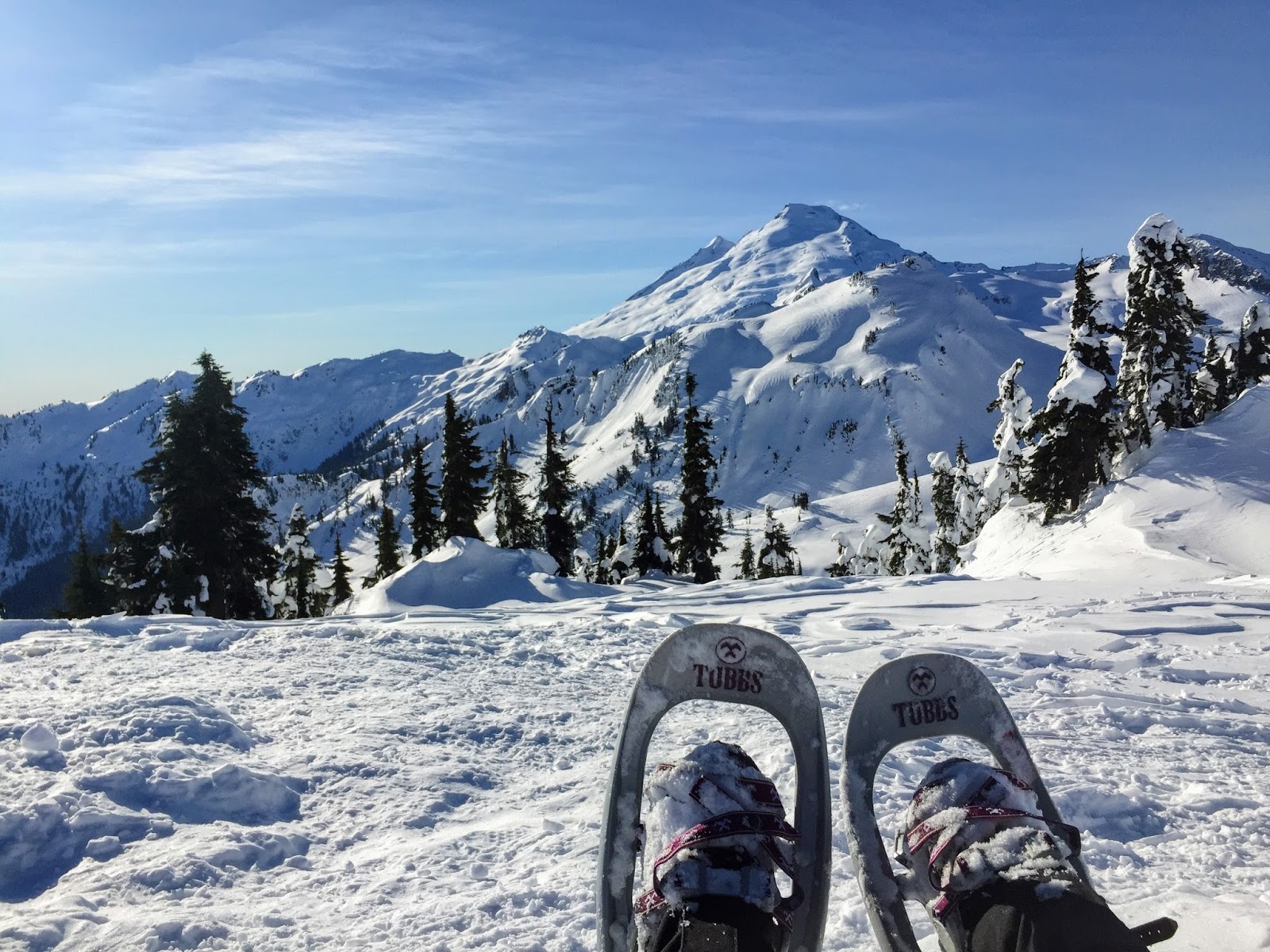
We took the Seven Lakes Basin Loop trail to the left (clockwise)
Taking the clockwise direction starts you off in ~6 miles of woods before you get out into the open. We started this way to get the longest leg of the trip (11 miles) and all the climbing done on Saturday while the weather was nice, in case Sunday was a total wash out. We'd also be able take in all the sights on a cloudless day, as Sunday's hike would instead be a relaxing descent through the woods.

Andy making his way up on one of the many beautifully constructed log bridges
As we climbed higher, the air became fragrant with blueberries. Bears were busy munching away and didn't care about us at all. It was amazing. We ended up seeing a total of NINE bears.

Hey Bear

I am but a tiny part of this forest
I am but a tiny part of this forest, pt. 2

Morganroth Lake
A Ranger making his rounds on the trail gave us a tip about a shortcut to Lunch Lake via a split off just before Bogachiel Peak. We actually took this path 5 years ago while we were exploring and heading towards Morganroth Lake from Lunch Lake. We didn't see this split off 5 years ago because it was snow-covered and not yet marked with the small arrow sign that's there now.


Shortcut to our destination coming up

It took us 5.5 hours to get to Lunch Lake from Sol Duc TH. Not too shabby. We set up at Campsite 9 and had a nice view of the lake.

Peek-a-boo Lunch Lake. The channel was bone dry.

Campsite 9
The evening was gusty, but warm. We ended up getting plenty of rest and woke up at 5:30 am to tear down camp. We headed out by 6:30 am to catch the sunrise on our hike up and out of the basin.

Early morning selfie before heading out of Lunch Lake :) :D

Andy pointing to the trail out of the Seven Lakes Basin. That's the trail up to the ridge.
Looking back towards Lunch Lake and that early morning dewy glow
Early bear gets all the blueberries at Round Lake.

Sunrise towards the top of the ridge on the way out of the basin
Once out of the basin, the remaining 7 miles to the trailhead was mostly through the forest. Andy and I stopped at a particular spot to take a few more pictures. We took a few  steps forward and to our surprise a bear was about 10 feet away from us! Luckily we were talking and it wasn't as surprised as us. In the picture below the bear is standing on its hind legs wondering what all the fuss is about. He or she went back to munching on berries shortly after. So cute! So cool! I'm still in awe.

My favorite bear picture
We passed by Sol Duc Falls on the last 0.8 miles out. It was of course beautiful.
Sol Duc Falls
As we stepped into the parking lot, the rain began. The weather was on our side again this time. 
 

Sunday, June 18, 2017

Paradise Valley Conservation Area

June 18, 2017

There's a nice system of trails in the Paradise Valley Conservation Area located in Woodinville, only 30 minutes from home. The trailhead is right off Paradise Valley Road and offered ample parking on Sunday at 11 am. When we arrived there were a few muddy bikers just getting back to their car, while others were gearing up. We'd hope the rain showers would let up by late morning, but it was still drizzling by the time we hit the trail.

For some reason we were expecting no rain and paved pathways. So, we dressed that way: in street clothes with comfortable walking shoes/sneakers (also dressed for beers afterwards). No worries, though. For the most part we were protected from the rain thanks to the trees. The trails were well maintained so we only had to hop over a few mud puddles. The trail system is well marked with sign posts at every split. We did a quick in and out on the Mainline Trail and took a detour through the Whispering Firs trail on the way out.

Info plaques

The Clearing


Muddy buddies

Whispering Firs trail (foot trail only)


Happy Earth Apparel- 50% of their net profits go towards promoting conservation and sustainability

Toby is still working on trail manners and we'll need to be prepared to calm him down on these mixed-use trails; he doesn't like bikes! All the bikers we encountered were courteous and took it slower than I expected, which I appreciated.

Since it's so close to home, this will be a good one to revisit when we have more time and when it's sunny. I'd like to go for a run with Toby and explore split-offs from the Mainline Trail.

Monday, May 29, 2017

Cherry Creek Falls

May 29, 2017

This was the first Memorial Day weekend Andy and I have been home for in 5 years and boy, was it a good one. You really can't beat summer weather in Seattle.

The three of us woke up bright and early Monday morning and hit the trail to Cherry Creek Falls at 7:10 AM. We were the only car in the area with the exception of a mountain biker who was on his way out. This was the perfect hike to take Toby on. The trail was wide nearly the whole way (wide enough for me to walk next to Andy) and it's an easy one at 450 ft. elevation gain. Directions from WTA's website were spot on and helpful because of all the split-offs, but the main trail is pretty obvious and easy to follow. The side trails either had sticks across them or some growth indicating they were less travelled.
My handsome boys
Wide open spaces
The past week of warm, sunny weather helped dry out any muddy areas. There were no obstacles we had problems with - just some slugs and piles of horse manure. Towards the end of the hike there were a couple logs to help cross over shallow Hannah Creek. After crossing the creek we took a right and followed the sound of the falls. We had the place to ourselves and Toby had a blast splashing around.
Cherry Creek Falls
Such happiness

Hello!
After having some snacks we headed out and passed a half dozen groups hiking in. We were out of the trail by 10 AM and by that time Mountain View Road had turned into a parking lot. Looks like many bicyclists park along that road and ride around the area to Woodinville and whatnot.

Saturday, May 20, 2017

Sleeping Giant (& Waimea Canyon), Kauai

May 20, 2017

Our first trip to The Garden Island was full of exploring, happy hours, eating, drinking, and relaxing. We planned to do a couple hikes, but ended up hiking only to Sleeping Giant due some trailhead closures on the island.

We arrived at the East Trail trailhead around 7 AM. From the lot we were able to get a good view of our goal for the morning:
Sleeping Giant
I'd consider the hike easy to moderate. The weather had been sunny for a few days already, so we didn't encounter any slippery rocks or clay. We were warned many times that hiking this trail after or during a rain could be dangerous due to the clay soils. Actually, I think that's the case for most of the trails on the island.
Rewarding views for relatively little work
An open grassy area with a picnic shelter, tables, and benches was a nice area to catch my breath before making the final scramble up to the nose.

Picnic shelter
At the top!
Views from the top were amazing. My legs were literally shaking, though, because I'm not very confident with heights without guardrails. Took most of my photos from a kneeling position!

On the last day of our trip we drove up to see Waimea Canyon. I wish we had more time as there were many hikes in the area.

Waimea Canyon aka Grand Canyon of the Pacific


Canyonero!
 

Saturday, January 14, 2017

Artist Point Snowshoe

January 14, 2017

To start off the most perfectly planned 30th birthday weekend, Andy took me on a snowshoe trip to Artist Point in Mount Baker - Snoqualmie National Forest. The drive was easy and long. The Civic in front of us made it up to the parking lot with no problem.

It was a gloriously sunny and warm Saturday morning. We arrived at the parking lot around 10:00 am and found princess parking right up front. To our surprise there was still quite a bit of parking available so late in the morning. Parking was free and there are a couple restrooms available in the lot.

The hike is 4 miles roundtrip in and out, but was more for us with all the exploring. We began to the left of the restrooms and immediately right of the ski/snowshoe rope. As this was our first time up on Baker, we didn't know what to expect but got just what we wanted - long, rolling hills of snowy landscape. We meandered wherever and were in awe nearly the entire time. Cabins buried in snow, windswept trees, and serpentine snowboarding/ski tracks on nearby slopes surrounded us. This was my definition of a winter wonderland.

Table Mountain

Lead the way, Andy!
Excited to be at Artist Point
Mount Shuksan

View of Baker Lake
Mount Baker

This flat area is actually the summer parking lot!


Went on a less travelled area and another view of Table Mountain.
We stayed up and explored for about an hour before heading down to the lodge. We enjoyed a beer at the top before the drive to Bellingham.
Après-snowshoeing beer
We stopped at Boundary Bay Brewery to watch last quarter of the Seahawks vs. Falcons game. I drowned my sorrows in a delicious bowl of mac and cheese.