Wednesday, August 29, 2012

High Divide Loop

This was our long hike of the summer, any by far the best. Five days, four nights and lots of wildlife.

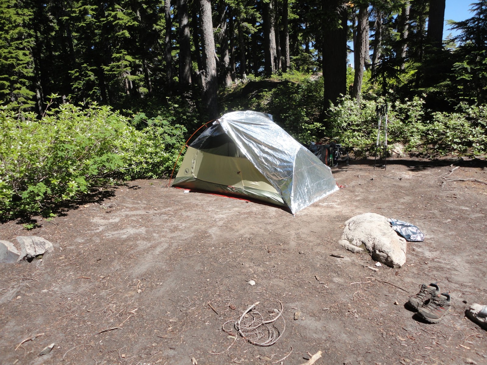
We started off hiking to and camping at Sol Duc Park for the first night. I remember it being veeerrry cold. I think a lot of the cold air collected in the area we were camping. Nice little stream between some rock beds in the middle of the forest.

Day 1 - Sol Duc Park.

The next day we hiked to Lunch Lake. This was also Andy's birthday. Happy Birthday, Andy!


Cold, sun shiny morning :)


This is Heart Lake <3 center="">


Clearing at a high part of High Divide..


Hey, cool dudes.

So when you're walking up a steep section you're usually looking down, right? I usually do, too. But this time while I was looking down, something caught my eye up ahead. Just moments ago we saw some bear scat on the trail, too, so I was a little paranoid. I could have sworn it was some kind of movement, though, and John thought he saw something, too. Good thing, because we decided to stop mid-slope just in case...


Yup, it was a bear.

That was exciting. Here are some other pretty pictures on the way to Lunch Lake.


Hoh River from the High Divide (left), Tarns - looks like a golf course to me (right).


Beautiful, perfect, gorgeous Lunch Lake. Stayed two nights here.
 
 
6/14/2017 - Found this post sitting as a draft, so I guess it's all I wrote. Planning to do this hike in one day next month, July 2017.


Saturday, August 4, 2012

Rachel Lake to Alta Mountain

August 4 - 5, 2013

What can I say? Rachel Lake is gorgeous. We took an overnight backpacking trip to Rachel Lake the first weekend in August. Our legs were burning by the time we made it. Little did we know what was coming up.. After setting up camp, lunch, and taking a cold dip/swim in the lake, we headed out for a day hike. Plan was to hike to Rampart Lakes which is only 1.3 miles away, we accidently took a different trail - 1.8 miles of unyielding elevation gain (4,200' @ Rachel Lake to 6,100' @ Alta) but well worth the spectacular views and false summits! We were very close to actually summiting, but the sun was starting to set and we were hungry, tired, and had quite a descent ahead us. Maybe we will take this trip again in the Fall and this time go to Rampart Lakes :) Visible mosquito bite count: John - 100+ / Angela - 56 / Andy - 10. Andy has asked me to edit - his bites showed up later at 100+ LOL. My bite scars were visible until December.

Photo dump!

Monday, June 4, 2012

Third Beach to Toleak Point

June 2 - 4, 2012

The first hike I ever took with Andy was to Toleak Point in 2008 on Memorial Day weekend. We had heavy packs and it was very, very muddy. This time the trail was still muddy, but our packs were light and we knew what to expect. It's actually an easy hike. I remembered it being hard probably because of all the mud and rope-assisted climbing. We spent two nights here again. Camping on the beach and listening to the crashing waves as you fall asleep - there's just nothing like it.
After setting up camp we explored around the beach. It was a nice and relaxing day. Second day we attempted to hike to Oil City, but the first stream crossing was deep and the trail was overgrown so we turned back hung around the beach some more.

Much of the trail looked like this. It'll suck yer shoe right off!

Bah, high tide. Decided to wait it out under a quick tarp shelter Andy whipped up since it started raining. I'm making lunch under there. We could have climbed up the left side of the cliff, but looked muddy and slippery. A few young guys did. We ended up on the other side before they did.

Cliff side is much higher than it looks in this picture. I believe this is Scott's Bluff. There are a couple headland passes on this hike and this is one of them. Ropes are available and tend to get muddy and prickly, but there's no other choice.

Buoy Tree!

Low tide.

Campsite

Beautiful. Roaming around on the beach on a lovely afternoon.

Long jump competition to pass the time and exfoliate our feet.

The sun is starting to set.

Hot cocoa and a sunset on the beach.

Attempted a day hike to Mosquito Creek, but the river/stream crossings were too high and the trail was muddy and overgrown so we turned back here.

There was quite a bit of debris from Japan that had washed up on the beach like this mouthwash container.

Strawberry Point is only accessible during low tide. The following pictures are from us exploring this area.
That sandbar walkway is completely covered with water during high tide.

Careful! Rocks are slippery

Lots of little critters exposed

It was too slippery for us to go in the cavern area (we were in flip flops), but we met a couple who went in and said it was pretty cool in there.

Seals, I think. Can you see?

Headed back to site for more relaxing and beach walking.

"2012 A Beach Odyssey"


Saturday, May 26, 2012

Nada Lake

May 26 - 27, 2012

This was an overnight backpacking trip to Nada Lake. I remember only switchbacks in the beginning of the hike and after what felt like an hour I could still see my car in the parking lot, just a lot farther down! Okay maybe I'm exaggerating about the whole one hour thing, but it was challenging right from the get go.
The lake was so beautiful. We attempted a day hike to Snow Lake, but too much snow in May and we were not prepared.

Trailhead

Nice view

Nada Lake

Campsite

Morning time. Andy's preparing breakfast.

Flowers

Saturday, May 12, 2012

Greenwater Lakes

May 12 - 13, 2012

Elevation Gain: 426'
Highest Point: 3026'
Length: 5.5 miles
Difficulty: Very Easy

Forest-y. That's all I really remember. Greenwater Lake was nothing really special. It was certainly green and shallow. We found a nice campsite early, which is always good. There were three other groups that came by after we had set up. Couldn't make it up to Echo Lake this time of year. Too much snow and we were not prepared. There was one group who made it up there after we ran into them again in the parking lot.

Old growth forest

Lots of "fallen tree" type bridging for crossings.

Greenwater Lake

Attempted to hike up to Echo Lake, but couldn't continue because of the snow.

Campsite in the shade. It was windy here, too.

On the hike out, found a better campsite than ours! Next time.